For each of the G20 countries, the Atlas includes an overview of the impacts, risks, and interactions with climate change that are expected by the middle and end of the century. These are assessed at the national level, under different degrees of warming and development models, with an in-depth analysis of key sectors of the G20 economies.
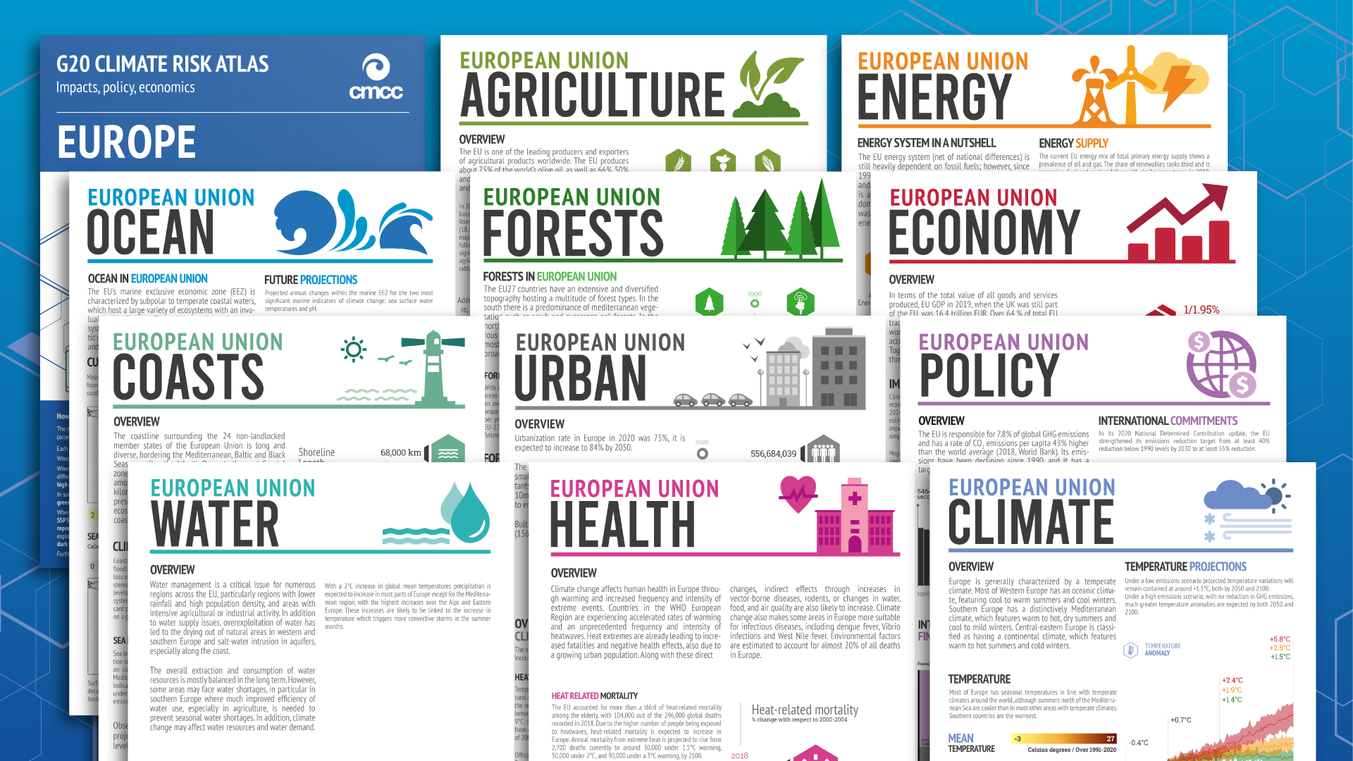
The 11 Climate Risk Atlas factsheets shed light on the risks faced by each country, using a clear and functional structure, with novel communication of climate risks at different levels and for different audiences.
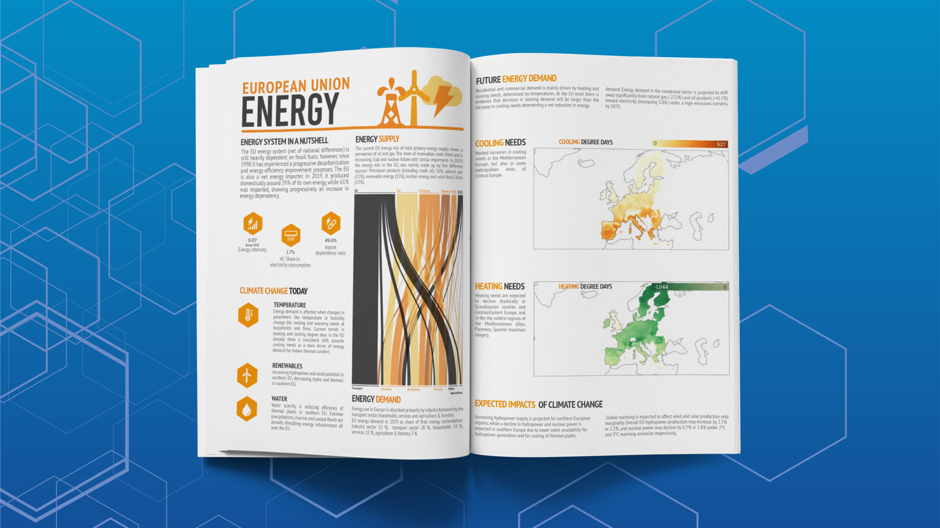
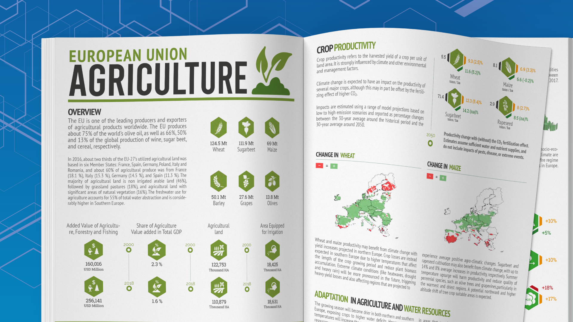
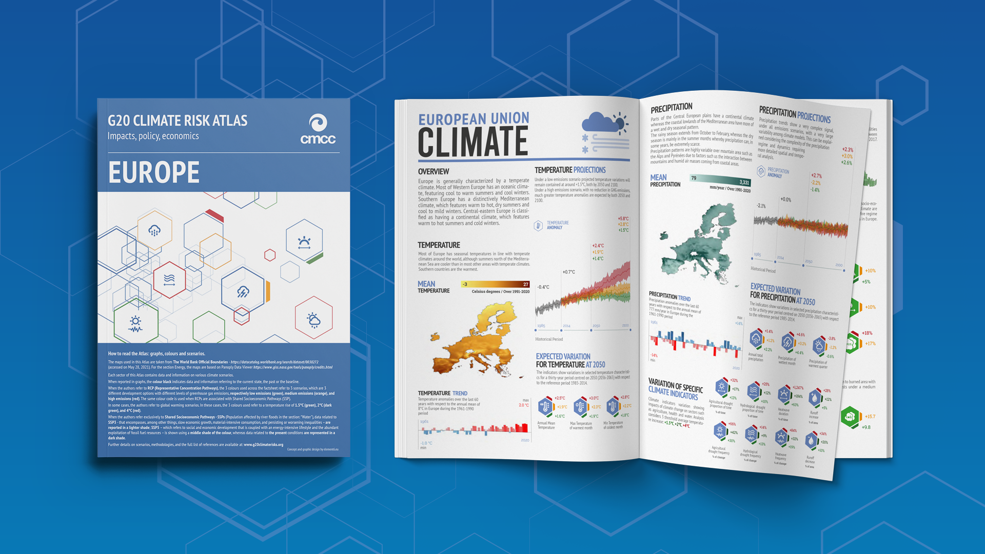
For this purpose each country and sector factsheet is designed with a mix of infographics, maps and short narrative descriptions related to relevant climate-driven hazards and key affected sectors, namely: Climate, Ocean, Coasts, Water, Agriculture, Forests and Fires, Urban, Health, Energy, Economic Impact, and Policy.